
ABOUT US
Satpalda Geospatial Services is a leading provider of satellite imagery and geospatial services and solutions to the user community. The company continues to successfully deliver a wide range of Photogrammetric and Remote Sensing Projects. Our cost-effective solutions cater to the broad spectrum of government and industry users. The USP of SATPALDA’s solutions is the unique blend of technical expertise and cost-effective quality solutions delivered in a timely manner.
OUR SERVICES
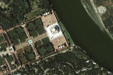
Data Services
Superior Quality Multi-Resolution Imagery Products to suit wide range of applications.
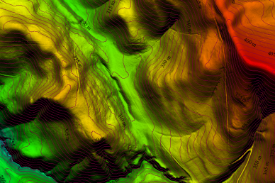
Production Services
Convert High Resolution satellite and aerial imagery into precise and accurate customized products.
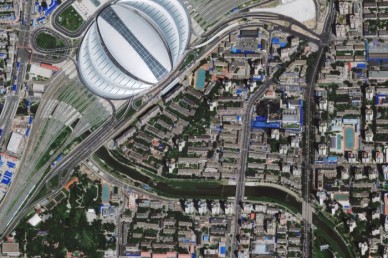
Value Added Products
Enhance the usability of the data with our value addition services.